Acre
In Brazil’s far west, Acre is the last place in the country to see the sun set. Its Serra do Divisor is one of the most biodiverse places on the planet.

Mount Roraima sits on the border between Brazil, Venezuela, and Guyana. At the top of its sheer vertical cliffs, the landscape feels almost surreal.
The trekking experience to Mount Roraima takes place in a landscape of savannas and tepuis that connects Brazil, Venezuela, and Guyana. Rising to around 2,700 meters, this flat-topped formation is known for its unique biodiversity and for the stories of the Pemon people, who associate the mountain with the figure of Makunaima. ([Dicas de Viagem][1])
The ten-day journey begins in Boa Vista. From there, the route continues by road to the border region, passing through Santa Elena de Uairén and reaching the Indigenous community of Paraitepuy, the starting point of the trek. Trails cross savanna landscapes, rivers, and rocky slopes before reaching the base of the mountain. The entire route is carried out with authorization from Indigenous communities.
The ascent to the summit follows the Paso de las Lágrimas, where water flows over the rocks forming small waterfalls and streams. The terrain reveals striking rock formations, wet fields, bromeliads, orchids, and areas such as the Valley of Crystals. At the top, the view across the borders of three countries is a spectacle in itself.
On the way back, moments of rest and contemplation follow the shifting landscapes at their own pace—until, at last, you and the mountain seem to move in the same rhythm.

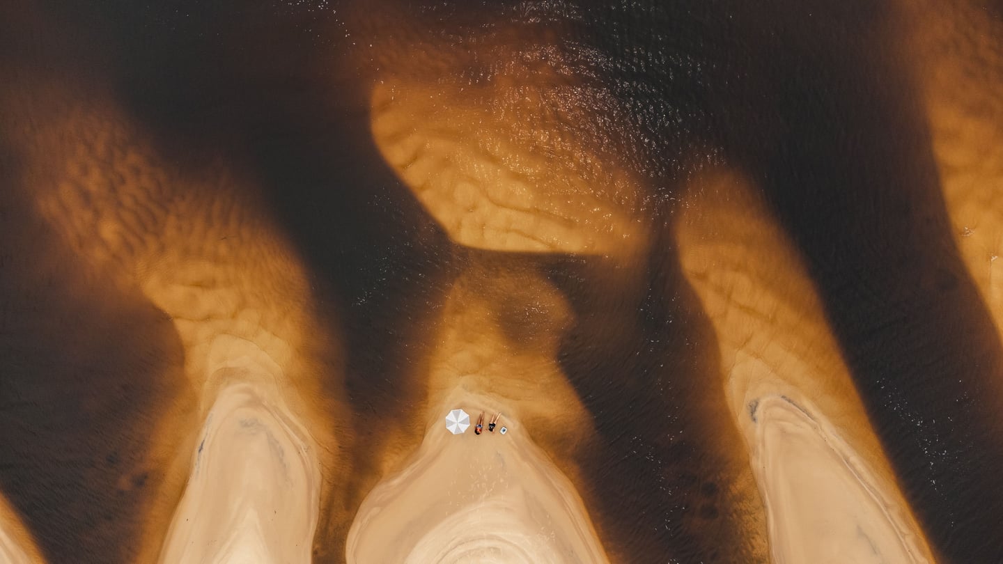
The Rio Branco is Roraima’s main artery, rising in the Serra do Parima and flowing through the capital, Boa Vista, with waters that shift from muddy to bluish depending on the rainy season. It physically defines the city’s eastern edge, where stretches of pale sand beaches emerge during the dry season, revealing the Amazonian savanna landscape known locally as *lavrado*.
Its banks are historic meeting places, where urban life meets the strength of a current that flows toward the Rio Negro. Visitors can explore the Taumanan Waterfront and continue to Rio Branco Park, stopping at the Edileusa Lóz viewpoint, which offers panoramic views of the river’s curves and the surrounding forest.
Cultural immersion comes through local crafts and Amazonian cuisine, such as tambaqui served in restaurants overlooking the water. Traditional boat tours depart from the waterfront, offering a perspective on the history of Boa Vista shaped by those who have lived along—and protected—its banks for generations.
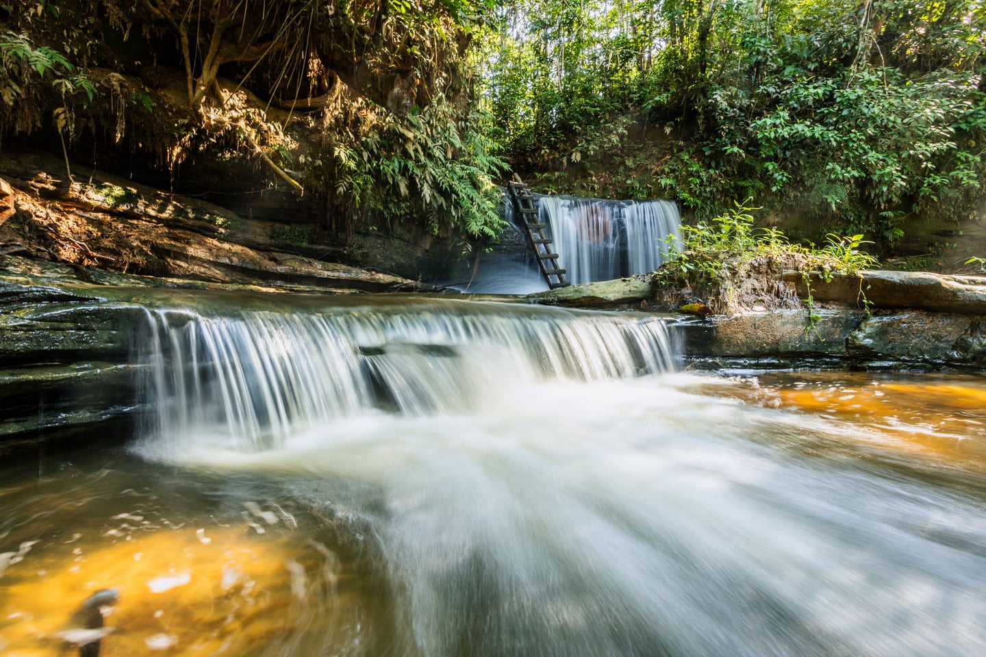
Roraima is home to one of the largest river islands of upland forest in the world, embraced by the bifurcation of the Uraricoera River: the Maracá Ecological Station. A living laboratory where dense tropical forest meets *lavrado* savanna, this ecosystem is shaped by clay-rich soils and an equatorial climate. Managed by ICMBio, the area is a landmark of Amazon conservation, serving as a refuge for endemic species and as a site for global scientific research monitoring the health of the biome.
Visitors can experience environmental education and scientific ecotourism through guided visits that reveal the daily work of researchers and forest protection teams. Interpretive trails offer opportunities to observe wildlife such as harpy eagles and jaguars in their natural habitat.
Boat trips along the Uraricoera River provide insight into the dynamics of rocky river systems and the importance of maintaining ecological corridors for the environmental integrity of the northern Amazon. It is an invitation to quiet contemplation and a deeper, more technical understanding of life in the forest.